



































Navigating Your Utility Network Migration: Best Practices to Prepare, Cleanse, and Modernize Spatial Data
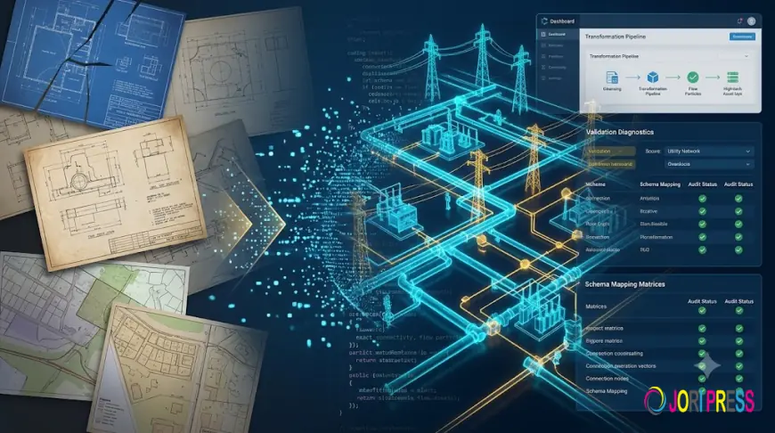
Upgrading enterprise geospatial systems to modern architecture is a primary objective for utility operators worldwide. While the business advantages of digital twins and real-time network tracing are clear, executing the transition introduces significant technical hurdles. The single most demanding factor in any modernization roadmap is the Utility Network Migration.
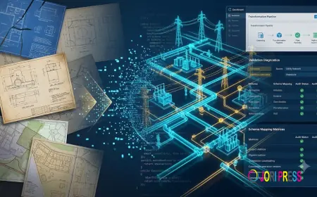
Transferring records from legacy geometric networks, CAD files, and tabular databases into modern network models is far more complex than a basic database export. Legacy systems tolerated loose connectivity, missing attributes, and outdated spatial basemaps. Migrating dirty data directly into modern platforms causes immediate schema validation failures, breaking core automated network functions.
Common Data Traps That Derail Migration Projects
Before initiating cutover, organizations must address historical data discrepancies:
-
Invalid Connectivity & Floating Assets: Older networks often allowed line endpoints to hover near terminals without establishing formal connectivity associations.
-
Nomenclature and Attribute Inconsistencies: Decades of manual entries lead to mismatched equipment ratings, missing installation years, and broken phase alignments.
-
Spatial Discrepancies: Assets digitized decades ago against outdated road centerlines fail to match high-precision real-world GPS coordinates and modern landbases.
-
Undefined Containment Structures: Modern network frameworks require explicit associations between vaults, banks, cabinets, and the active devices contained inside them.
A Structured Framework for Safe Data Migration
To protect project timelines and preserve institutional asset knowledge, migration programs must follow a repeatable, four-stage technical framework:
-
Comprehensive Data Health Assessments: Run detailed diagnostic audits across the existing spatial inventory to isolate broken loops, orphaned features, and invalid domain codes.
-
Automated Data Remediation & Conflation: Correct spatial alignments against updated aerial photography and modern landbases. RAMTeCH utilizes proprietary tools, such as gConflate™, to systematically align network features to real-world coordinates with high precision.
-
Target Schema Configuration & Mapping: Map legacy field values to standardized modern asset groups and asset types. Configure terminal definitions and structural attachment rules before importing records.
-
Validation Pilots in Controlled Staging: Test migration scripts and schema transformations on localized data subsets within an isolated staging environment. Evaluating representative feeder networks or pressure zones ensures transformation scripts run reliably before full-scale cutover.
Eliminate Modernization Risk with RAMTeCH
Data transformation at an enterprise scale demands rigorous quality controls and specialized utility engineering expertise. As an Esri Gold Partner holding the Esri Utility Network Specialty, RAMTeCH delivers tailored data modernization roadmaps that protect critical asset records and prevent cutover delays.
RAMTeCH’s team has guided some of the world's largest electric, gas, water, and pipeline operators through complex data transformations. By combining proven migration methodologies with deep platform experience, RAMTeCH ensures that your asset data is structurally sound, fully validated, and operationally ready from day one.
Ensure a predictable, risk-mitigated network transformation by discovering RAMTeCH’s Utility Network Migration services today.
What's Your Reaction?
 Like
0
 Dislike
0
 Love
0
 Funny
0
 Angry
0
 Sad
0
 Wow
0